May 2012
Hells Gate Trail
Trail Notes: We found this hike in A Falcon Guide: Hiking Arizona. The hike is east of Payson and was pretty easy to get to. It should be noted that the turn off of Highway 260 is unmarked. We passed it and then had to head back. The hike is about 18 miles (based on our iphone GPS) out and back with about 2000 ft elevation change. There are several campgrounds at the end. We saw no other hikers the entire trip - until we reached the campground and happened upon two other couples. We took an open campsite they pointed out to us, which was quite nice.
We did this hike as a 2 day backpack trip - our first trip to try out a lot of our hiking purchases. It was hard for me to get used to hiking with a pack - and my pack was much lighter than Aaron's! It was a good but TIRING hike! We started on Saturday around noon - we should have left early Saturday morning to enjoy the campground, but we didn't realize how long the hike would take.
 |
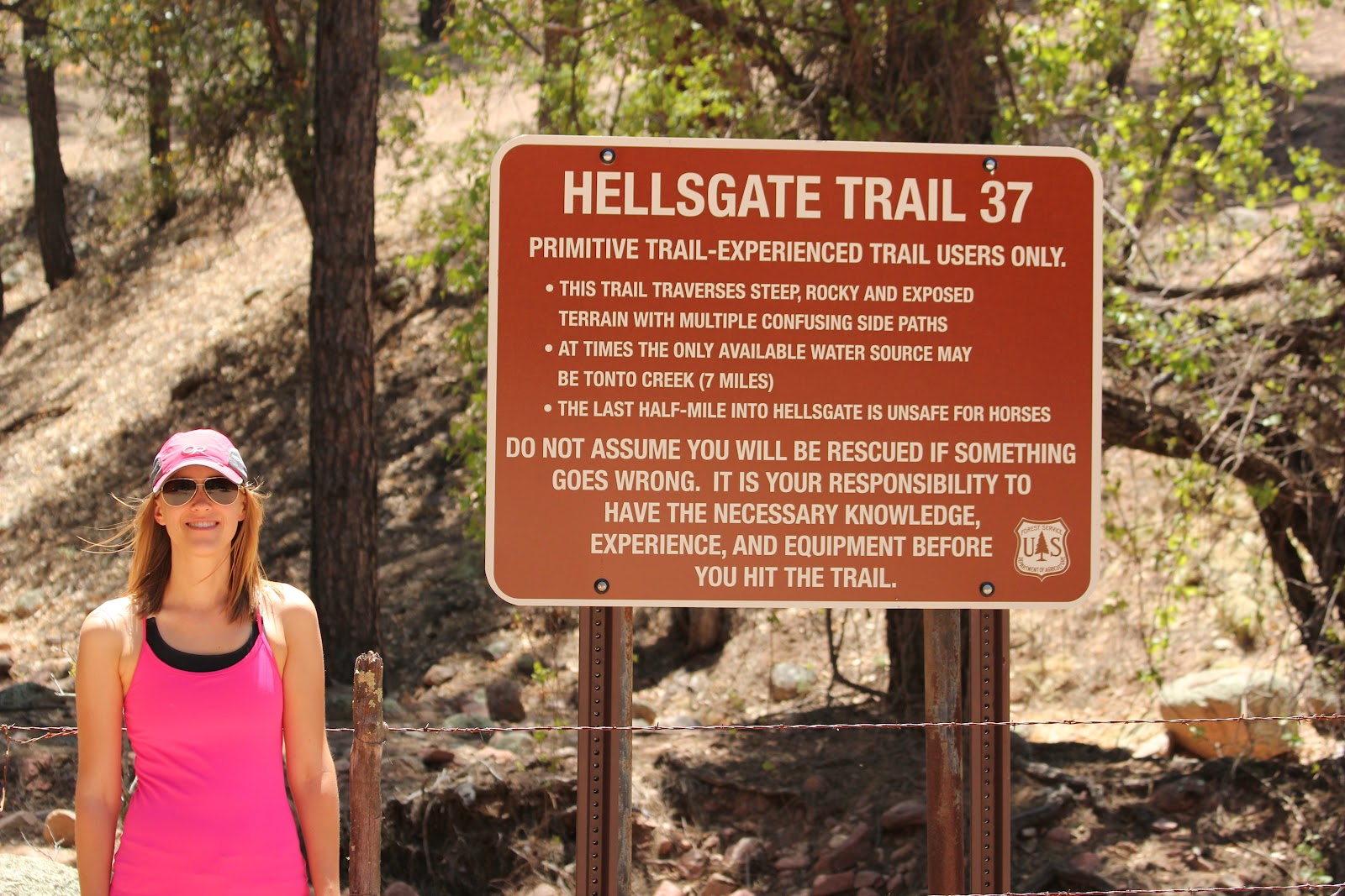
| Welcome to Hells Gate |
 |
| Happy at the start of the hike |
 |
| Cairns/Blazes marked the route |
 |
| Beautiful views |
 |
| Our campsite |
 |
| The canyon narrows - we camped at the confluence of the Tonto and Haigler Creeks |
 |
| More of the narrows |
 |
| Aaron crossing the creek in the morning |
 |
| Lovely morning view |
 |
| Aaron on the hike back |


No comments:
Post a Comment